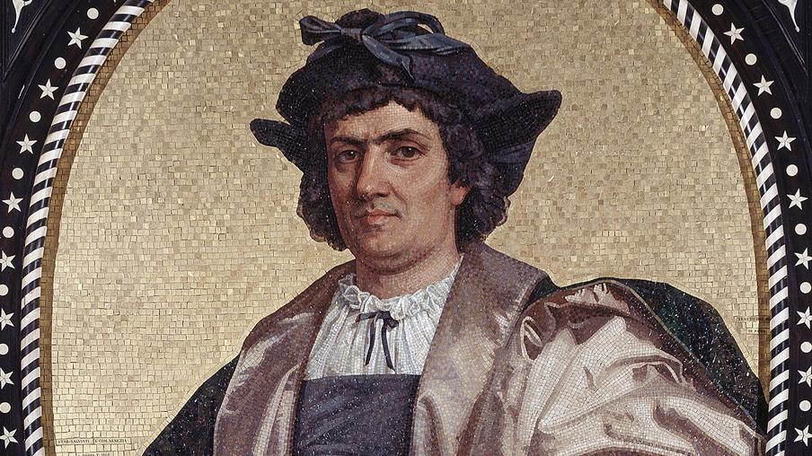
Christopher Columbus thought he landed in India because of a combination of geographical misconceptions, broad definitions of Asia, and his navigational assumptions rooted in outdated maps and theories.
In the late 15th century, Europeans used the term “the Indies” broadly. It did not refer solely to the Indian subcontinent. Instead, it covered a vast, loosely defined expanse from India to Japan and nearby islands. These places were famed for spices, gold, and exotic goods. Columbus aimed to reach any part of this enormous region. His goal was to find a westward route to the lands Marco Polo and others described in their travel accounts.
The foundation of Columbus’s error lay in his calculations. He, alongside mentors like Paolo Toscanelli, relied on Ptolemy’s geography from around 150 AD. Ptolemy’s maps significantly underestimated the globe’s circumference. They suggested Asia lay only a few thousand miles west of Europe. This sharply contrasts with the true intercontinental distances published later. Portuguese and Castilian geographers cautioned Columbus against these distances, knowing the Pacific Ocean and the Americas existed. Columbus chose to trust the smaller estimates, convinced a simple Atlantic crossing would reach Asia near China or Japan.

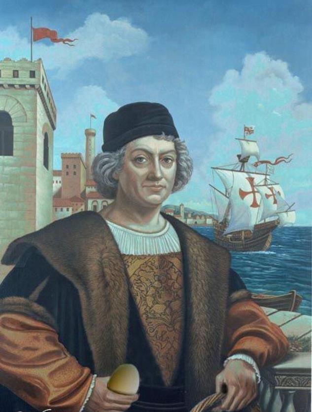
When Columbus and his crew landed in October 1492, he encountered unfamiliar islands and peoples. He found gold ornaments and heard local names like “Cibao.” Columbus linked these details to Asian descriptions. He interpreted “Cibao” as “Cipango,” an old name for Japan, based on existing accounts. This interpretation fit his strong belief that he had reached the fringes of Asia. Columbus thought Asia’s great cities must be further inland, invisible from the coast where he landed. Hence, every piece of new information was forced to fit his Asian hypothesis despite evidence to the contrary.
European knowledge of geography at that time lacked any awareness of the Americas or the Pacific Ocean. Maps compressed the eastern Asian landmass into much smaller, closer spaces. The idea of a vast continent blocking the way was absent. Therefore, Columbus’s assumption that nearby islands were part of “the Indies” seemed logical. This misunderstanding was not just Columbus’s but represented the era’s flawed geographic worldview.
Another dimension was Columbus’s personal and professional pressure. His voyage was funded by the Spanish crown to locate a new route to Asia’s riches, especially spices and gold. Admitting he found unknown continents would undermine his mission and credibility. Claiming he reached Asia validated his entire career and ensured continued support. This motivation contributed to his steadfast belief.
This belief was reinforced by traditional mapmaking. From Ptolemy’s Geographia to later mapmakers like Paolo Toscanelli, Henricus Martellus, and Martin Behaim, maps contained large speculative regions. These maps extended “India Extra Gangem” (“India beyond the Ganges”) far south, with exaggerated peninsulas such as the “Dragon’s Tail,” thought to stretch past the equator. Columbus used this frame of reference for navigation. He expected a large mass of land east of Cipango (Japan), believing it connected to Indian territories extending southwards.
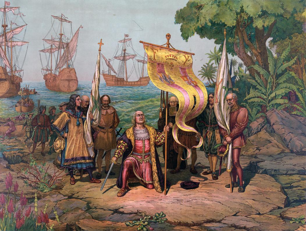
Columbus’s navigational plan reflected these ideas. Advised by Toscanelli, he aimed to sail westward near 28 degrees north latitude (the Tropic of Cancer). The plan was to reach Cipango, then sail south to “India Extra Gangem” and finally to Cathay (China). During the voyage, disagreements arose. On October 6, 1492, crew member Martin Alonso Pinzón urged a course change west-northwest to find land sooner. Columbus insisted on continuing west-southwest, aiming for the larger “Dragon’s Tail” landmass from the maps instead of small islands. This decision delayed landfall but resulted in discovering Guanahaní (now in the Bahamas) on October 12, 1492. Columbus still believed these islands were part of the Indies.
| Reason | Details |
|---|---|
| Broad Use of “Indies” | Covered lands from India to Japan, not limited to modern India. |
| Flawed Geography | Ptolemy’s underestimation of Earth’s size misled distance expectations. |
| Maps and Theories | Maps show “India Extra Gangem” and the Dragon’s Tail peninsula extending far south. |
| Columbus’s Interpretation | Linked local names like “Cibao” to Asian places such as “Cipango” (Japan). |
| Ignorance of Americas | Europeans had no knowledge of the Americas, so new lands seemed like Asian islands. |
| Professional Motivation | Columbus needed to claim Asian lands to maintain support and reputation. |
| Navigational Intent | Sailed west around 28° latitude, aiming for Asian lands shown on contemporary maps. |
The combination of all these factors made Columbus convinced he reached Asia. His voyage opened the Americas to Europe, but his understanding of geography did not immediately reflect this reality.
- “The Indies” referred broadly to a vast Asian region, not just India.
- Ptolemy’s underestimated globe size misled Columbus’s distance calculations.
- Columbus interpreted local findings as Asian, matching Marco Polo’s accounts.
- Europe had no knowledge of the American continents at the time.
- Contemporary maps exaggerated Asia’s eastern lands, framing Columbus’s expectations.
- Columbus’s career depended on claiming his discoveries were in Asia.
- His navigational plan aimed to reach Asia’s eastern limits via a westward route.
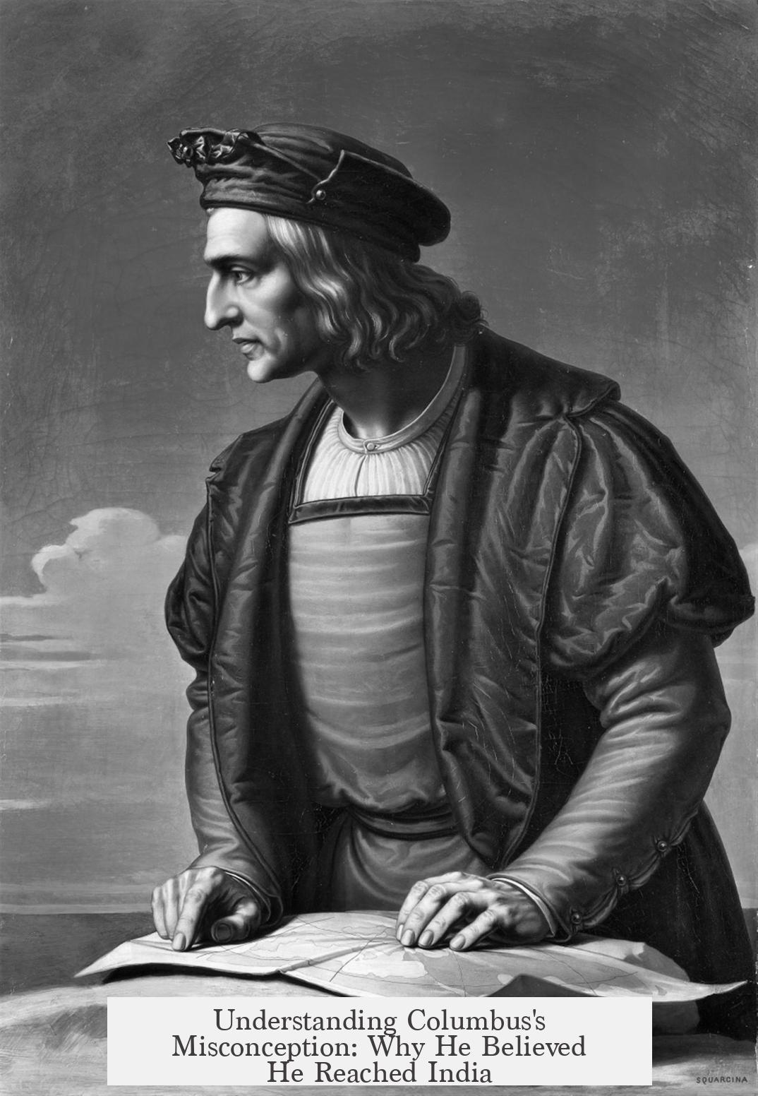
Why Did Christopher Columbus Think He Landed in India?
Christopher Columbus thought he landed in India because, in 1492, the term “India” covered a vast and fuzzy area known as “the Indies.” His maps, calculations, and the knowledge of the time all convinced him that the islands he discovered were part of Asia, not a brand-new continent. This perfect mix of hopeful geography, limited data, and stubborn belief created one of the biggest geographical mix-ups in history.
A World Where India Was Way Bigger Than India
In Columbus’s time, “the Indies” wasn’t just the India you know today. It meant a sprawling region stretching from the Indian subcontinent all the way to Japan. The word covered anything vaguely exotic east of Europe, marked by spices, gold, and mysterious cultures. So when Columbus thought about India, he pictured any place within this vast “Indies” scope — a huge playground for explorers.
Imagine Columbus setting out on his voyage, not hunting a single pinpointed spot but a whole “land of wonders” full of riches promised by travelers like Marco Polo. The Indies was less a strict map point and more a legendary zone.
Why Was Columbus’s Map So Off?
The mix-up starts here: Columbus used maps inspired by the ancient scholar Ptolemy and his 150 AD work, the Geographia. These maps depicted the world much smaller than it really is — an Earth that felt squished. Paolo Toscanelli and other cartographers from the 15th century painted Asia as being just thousands of miles west of Europe. They imagined “India” closer than it should be.
This flaw made Columbus’s plan seem absolutely logical: sail west, hit the Indies, get rich. Portugal’s experts warned him the distance was far greater, but Columbus believed in the smaller globe. So his calculations told him: “Land will appear early.” Spoiler: It didn’t.
India Extra Gangem: The Mysterious Land Beyond the River Ganges
Maps of the day featured a term: India Extra Gangem, meaning “India beyond the Ganges River.” It referred to the easternmost lands of Asia. These lands were drawn extending beyond the equator, forming the “Dragon’s Tail” peninsula — a giant stretch of land that supposedly reached well into the southern hemisphere.
Columbus’s charts showed Cipango (Japan) off this Dragon’s Tail. The explorer’s goal was to sail west, pass Cipango, and hit the mainland of Asia — Cathay or China. His plan was a neat line, guided by math and legends, but the real world was messier.
When Columbus Landed: How He Made It ‘India’ in His Mind
On October 12, 1492, Columbus’s lookout spotted land—Guanahaní Island in the present-day Bahamas. He was quick to interpret any unfamiliar clues as signs of Asia. Gold ornaments on locals? Sounds like the riches of the Indies. Names he heard, like “Cibao,” he linked to “Cipango” (Japan).
Columbus needed everything to fit his theory. The geography, the culture, even the local stories had to match what Marco Polo and others had told Europeans about Asia’s outskirts. He firmly believed the great cities of Asia were inland, so the island was just the doorstep.
The Unknown Americas: No One Had Charted These Lands
It’s important to remember: Europeans had no idea about the continents of North and South America. The Pacific Ocean, a vast barrier, lay undiscovered. Maps compressed Asia’s eastern edge, making it seem close.
Given this, Columbus’s assumption that the islands were part of Asia seemed sensible, not silly. He wasn’t imagining a whole new continent; he was following the best knowledge at hand.
The Pressure of Success: Columbus’s Career Hinged on His Claims
Admitting he’d found a new continent, unknown to Europe, would have complicated his sponsorship and status. Columbus’s entire mission under the Spanish Crown was to find a westward route to Asia’s lucrative markets. His prestige and rewards depended on this.
Declaring these islands “India” aligned with his sponsors’ expectations and his own ambitions. Columbus had more incentive to stick to the official story than to challenge centuries of geography in one fell swoop.
A Course Correction and the Argument on the Ship
Interestingly, Columbus’s navigational decisions were not set in stone. On October 6, 1492, a crew member, Martin Alonso Pinzón, argued for a change in course, believing they would strike land sooner if they veered west-northwest. Columbus resisted, preferring a course west-southwest to hit the “big land” predicted on maps.
In the end, Columbus adjusted course but still landed on the Bahamas, an island far from any part of Asia. Yet this didn’t shake his belief—he thought he was near the Dragon’s Tail peninsula, the fabled southern tip of India Extra Gangem.
So, Why Did Columbus Think He Had Landed in India?
- Because “India” covered an immense, vaguely defined area known as the Indies, not just modern India.
- He trusted maps and scholars who drastically underestimated Earth’s size.
- He read local clues through the lens of Marco Polo’s Asia and fit his discoveries into that puzzle.
- He was unaware of two whole continents lying between Europe and Asia.
- His career and crown sponsorship depended on his claim to have reached Asia.
- And finally, his navigational choices and stubborn confidence made him steadfast in his belief.
Was Columbus wrong to think the way he did? Not really—he was a product of his time. His story is a fascinating mix of hope, error, and bold exploration that changed our understanding of the world forever.
Next time you hear Columbus landed in India, remember it wasn’t a simple mistake. It was centuries of imperfect knowledge, geo-political pressures, and real human stubbornness combined into history’s biggest case of mistaken identity.
Why did Columbus refer to the lands he found as “the Indies” rather than a specific country?
“The Indies” was a broad term for a vast region, including parts of Asia from India to Japan. Columbus expected to find these wealthy and exotic lands, not the exact modern-day India.
How did Columbus’s geographic knowledge affect his belief that he landed in India?
Columbus relied on outdated maps that drastically underestimated Earth’s size. He thought Asia was just a short sail west of Europe, which led him to assume the islands he found were part of Asia.
What role did local names and items play in Columbus’s conclusion?
He connected local words and objects, like “Cibao” and gold ornaments, to Asian descriptions from travelers like Marco Polo. This reinforced his belief the new lands were near Asia.
Why didn’t Columbus realize he had discovered a new continent?
Europeans had no knowledge of the American continents. Their maps showed Asia extending much farther east, so the lands Columbus found fit the expected location of Asia.
How did Columbus’s mission influence his claims about landing in India?
His funding and reputation depended on reaching Asia. Admitting to unknown lands outside Asia could jeopardize support, so he insisted the islands were part of “the Indies.”