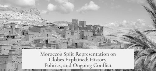

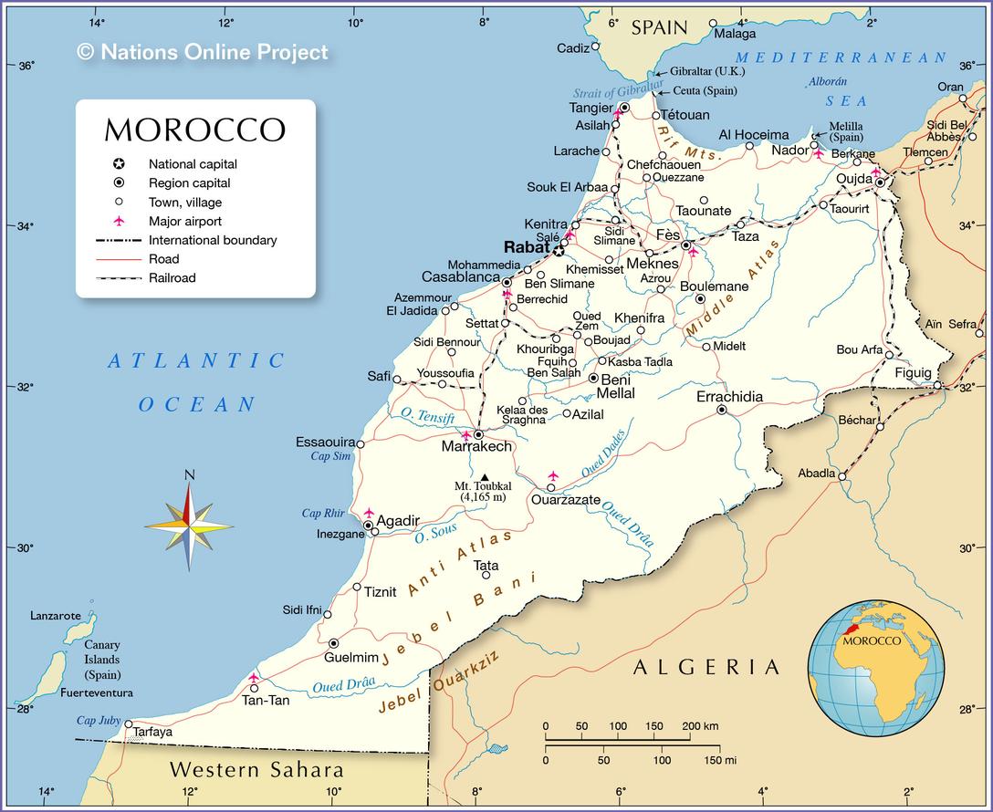
Morocco appears split in half on globes due to the depiction of the politically disputed border between Morocco and Western Sahara. This dashed line marks a contested boundary, reflecting both geographic and political complexities rooted in colonial history and ongoing conflicts.
The dashed horizontal line around latitude 27°40′N running slightly south of the Canary Islands represents the divide between internationally recognized Morocco and Western Sahara. Western Sahara is a region with unresolved sovereignty. Over 50 countries recognize it as an independent state, while Morocco claims it as part of its southern provinces and controls more than half of the territory.
This boundary’s depiction arises from the complex history during the colonial era. Morocco was divided between French and Spanish control during the 19th and 20th centuries. France held the main protectorate that became modern Morocco. Spain controlled the less populated desert region, today known as Western Sahara, as well as the coastal city of Ifni and narrow coastal strips. The division on globes reflects these historical territorial distinctions.
In the post-colonial period, Western Sahara’s status became contentious. Independence movements began resisting Spanish rule. In 1966, the Zemla Intifada marked an early but unsuccessful uprising by Sahrawi nationalists. Later, the Polisario Front, formed in 1973 in Algeria, emerged as a prominent liberation movement advocating full independence for Western Sahara.
Spain’s withdrawal in 1975, precipitated by the declining health of dictator Francisco Franco, intensified the conflict. Morocco, independent since 1958, asserted claims to the territory and sought to incorporate it. Mass civil movements were organized, including a demonstration where over 300,000 people crossed into Western Sahara. The Moroccan military then advanced, capturing key cities, asserting control over the area.
| Actors | Claims | Support |
|---|---|---|
| Morocco | Claims Western Sahara as Southern Provinces | Controls major western parts; built sand walls |
| Polisario Front | Seeks independence for Western Sahara | Supported by Algeria and Libya |
| Mauretania | Initially claimed some territories | Withdrew in 1979 |
Morocco and Mauretania initially divided the former Spanish territory. Mauretania withdrew in 1979 because of Polisario resistance. The conflict persisted between Moroccan forces and the Polisario Front throughout the 1980s. Morocco built a series of defensive sand walls, known as berms, manned by its military, effectively separating areas under its control from those held by Polisario forces.
The war formally paused with a 1991 armistice. Various peace efforts followed. UN envoy James Baker proposed autonomy for Western Sahara in 1997, but this was rejected by Polisario Front, who demands full independence. Further talks, including the Houston Agreement, failed to resolve who could safely participate in a referendum on self-determination. Political negotiations have remained in deadlock, prolonging the dispute.
Globes use the dashed line to represent this unresolved status. Rather than showing Morocco as a single, undisputed territory, the line acknowledges the division. It distinguishes Moroccan-administered regions from areas recognized by some as Western Sahara — a largely desert region with political and economic significance but ongoing uncertainty.
- The dashed line is not a national border fully accepted worldwide but a contested border between Morocco and Western Sahara.
- Western Sahara remains a disputed territory with both Moroccan control and significant international recognition as independent.
- The division has roots in colonial-era agreements dividing French and Spanish territories in North-West Africa.
- Post-independence conflicts and competing claims led to military conflict and ongoing political stalemate.
- Recent peace talks have stalled, leaving the area’s status unresolved, reflected in modern globes by the dashed border.
This portrayal informs globes users about the nuanced and unresolved geography and sovereignty in this part of Africa. It signals political disputes that affect mapping conventions and reflect international diplomatic challenges. The Moroccan divide visually captures the region’s complex colonial history and continuing quest for identity and control.
Why is Morocco Always Split in Half on Globes?
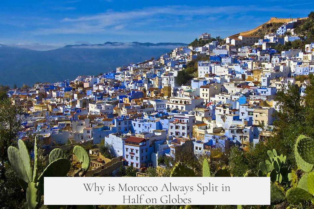
If you’ve ever glanced at a world globe and noticed Morocco seemingly “split in half,” you’re not imagining things. That dashed line slicing through Morocco isn’t just a random design choice; it marks a complicated border with Western Sahara—a region caught in the crossfire of history, politics, and international debate.
So, what’s behind this line? Let’s unpack the story layer by layer.
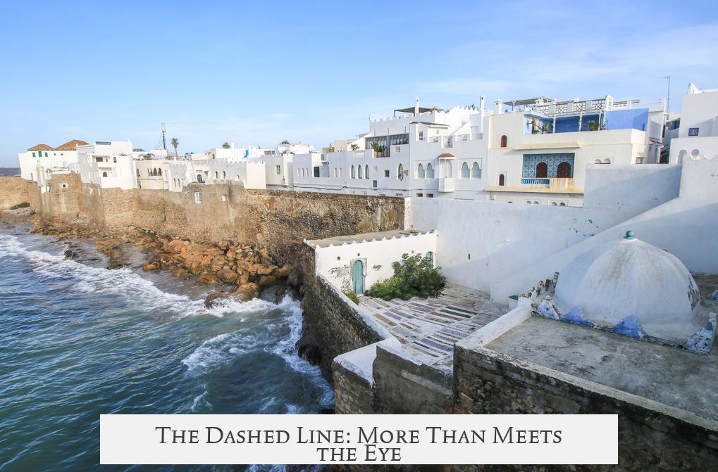
The Dashed Line: More Than Meets the Eye
Picture a horizontal dashed line around latitude 27°40’ N, just south of the Canary Islands. This line demarcates the boundary between Morocco proper and Western Sahara, a disputed territory. About 50 countries recognize Western Sahara as an independent state, but Morocco disagrees. They consider it their Southern Provinces.
Here lies the crux: the dashed line highlights the political tug-of-war over Western Sahara. Although Morocco controls over half of the territory, its sovereignty is anything but universally accepted.
Historical Roots: Colonial Chessboard in North-West Africa
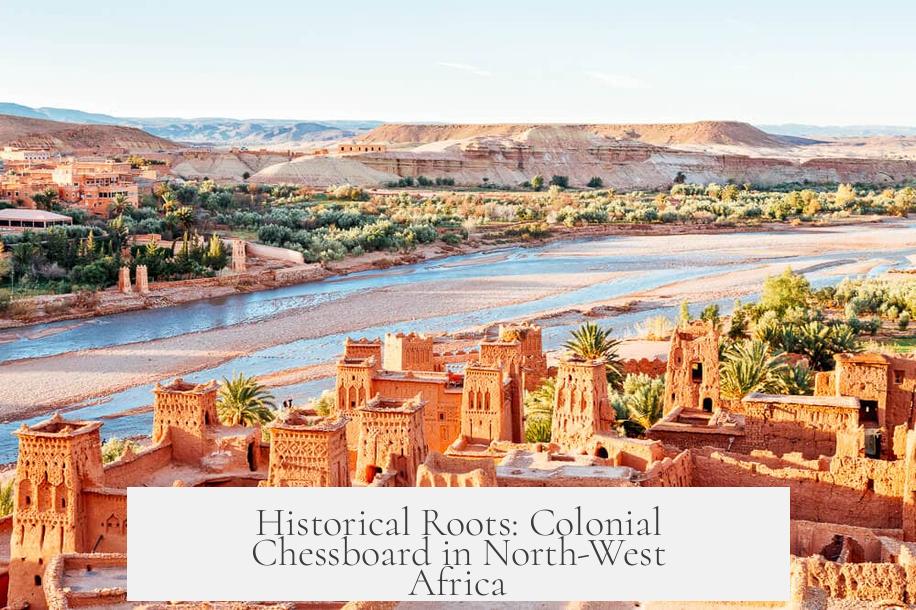
This border isn’t a casual invention; it’s a legacy of colonial times.
Back in the 19th century, Morocco was divided mainly between French and Spanish powers. France treated Morocco as a protectorate, handling most of the land, while Spain laid claim to pockets including Western Sahara and Ifni. These geopolitical boundaries set by colonial rulers didn’t consider local identities or allegiances, planting seeds for future conflict.
Fast-forward a bit.
In the 1960s and 70s, liberation movements sparked up. The Western Saharans didn’t just accept the imposed divisions lying down. In 1966, an independentist Liberation Movement formed, pushing for autonomy. A notable clash called Zemla Intifade in 1970 marked their first major military action against Spain—although they faced defeat.
But the flame of resistance didn’t die out. In 1973, Polisario Front arose in Algeria, determined to continue the fight.
Spain’s Exit and Morocco’s Move
By 1975, Spain was ready to cut its African ties, withdrawing troops. The plan? A referendum for Western Sahara’s future. Well, that was the idea on paper.
Morocco wasn’t about to sit idly by. Independent since 1958, Morocco pressed claims over Western Sahara, seeing it as part of their historic territory. A mass demonstration involving some 300,000 civilians—known famously as the Green March—crossed the border, followed by Moroccan army advances seizing key cities.
Split Territory and Ongoing Conflict
What followed was the division of Western Sahara between Morocco and Mauritania. But it wasn’t peaceful. The Polisario Front, backed by Algeria and Libya, resisted the new occupants. Mauritania threw in the towel in 1979, but Morocco held its position firmly.
The ‘Moroccan Wall’ or sand berms, manned by military forces, became a stark physical symbol of this division—separating the Moroccan-controlled areas, which are generally more prosperous, from eastern regions held by Polisario forces.
Political Limbo: Stuck in a Tug of War
An armistice in 1991 paused the conflict, but the chicken-and-egg dilemma over Western Sahara’s status remains unresolved.
In 1997, the UN’s envoy James Baker suggested giving Western Sahara autonomy, which Morocco accepted but Polisario rejected. Further negotiations led to the Houston Agreement, but key disputes—like voter identity for any potential referendum—kept the political process bogged down.
Baker eventually retired, and with no fresh breakthroughs, the issue remains suspended in limbo. Globes show Morocco split because the international community acknowledges this unresolved tension.
Why Does This Matter Today?
You might ask: why should I care that Morocco is “split” on globes?
Because it’s a prime example of how colonial legacies shape modern maps, and how disputed borders affect millions of lives. Ghettos in geopolitical limbo don’t just exist in textbooks—they impact refugees, economies, and diplomacy.
Moreover, understanding why Morocco is split on globes helps us grasp broader themes of sovereignty and territorial integrity—not just in Africa, but worldwide.
Final Thoughts: The Globe’s Silent Storyteller
The next time you spin a globe and see Morocco halved by a dashed line, remember: that line tells a story of colonial pasts, independence struggles, wars, and political stalemates. It reminds us that maps aren’t just about geography—they narrate history and human conflict.
For travelers and geopolitics buffs alike, recognizing the significance of Morocco’s split on globes adds depth to a casual glance—turning a simple observation into a lesson on how the world remains complex and ever-changing.
Have you ever wondered how many other countries quietly bear similar disputed lines? How would maps look if all disputed territories were clearly resolved? Food for thought next time you reach for that globe!