The landscape of ancient Mesopotamia around 3000 BCE featured a vast alluvial plain bordered by deserts and mountains, with fertile soils sustained by an intricate irrigation system amid an otherwise dry climate.
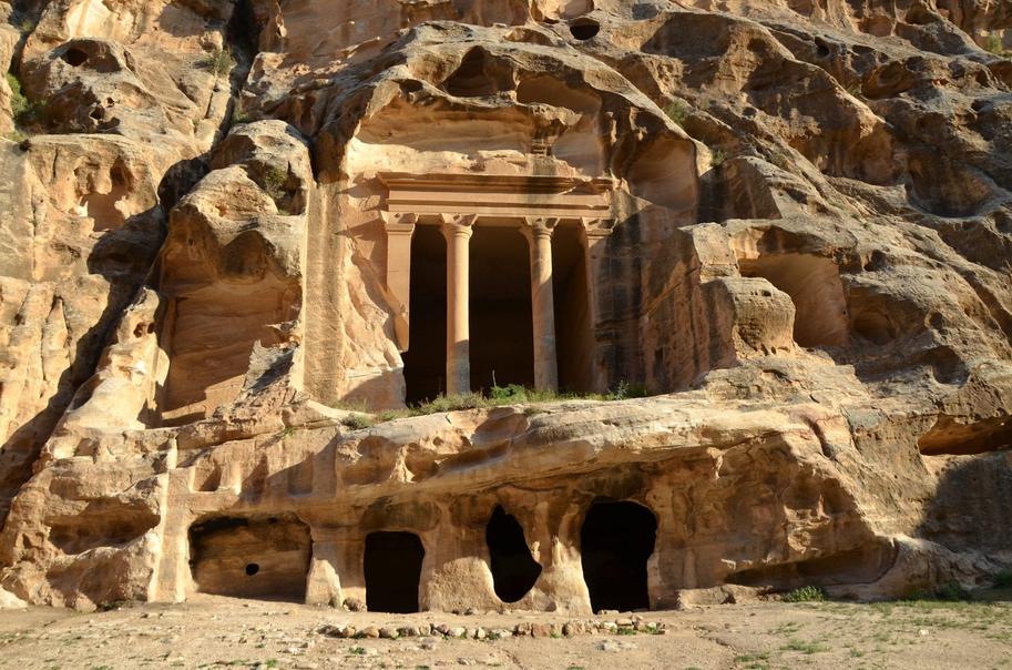
Mesopotamia extended inland from the Persian Gulf, which reached much further inland at that time. Key cities like Ur stood on the gulf’s edge, functioning as major ports. To the west lay the Syrian Desert’s sands, and to the east, the Zagros Mountains with their surrounding woodlands.
The southern region consisted largely of marshlands. These wetlands featured tall grasses, reeds, and numerous waterways. This environment supported diverse ecosystems and offered resources critical for early settlers. Despite the marshy southern expanse, much of the plain was dry, receiving about 200 milliliters of rain annually.
This low and unpredictable rainfall shaped Mesopotamian agriculture. Rain-fed farming was unreliable and often mistimed, threatening crop yields. To counter this, inhabitants developed extensive irrigation systems. Canals crisscrossed the land, diverting river water to nourish fields and gardens.
The region’s rivers flooded every spring due to snowmelt from southeastern Turkey. Usually, the floods stayed within riverbanks. However, every few years, waters overflowed, depositing rich sediments that rejuvenated soils. Unlike the Nile floods of Egypt, these floods sometimes arrived too late, damaging crops near harvest time.
| Feature | Description |
|---|---|
| Alluvial plain | Dry scrubland with loamy soil enriched by sediment from floods |
| Vegetation | Date palms, barley, wheat, leeks, lettuce, palm groves |
| Irrigation | Network of canals supporting water-intensive agriculture |
| Flooding | Spring floods replenish soil every 3-4 years but can harm crops |
| Southern marshes | Tall grass, reeds, and waterways providing a rich wetland habitat |
Historical accounts describe Mesopotamia’s plains as fertile and well-watered by this canal network. William Kennet Loftus observed “groves of palms and pleasant gardens” amid fields of grain. The landscape supported a growing population with abundant crops, including barley, wheat, and garden vegetables.
- Mesopotamia was a vast fertile plain wedged between deserts and mountains.
- The Persian Gulf extended far inland, placing some cities like Ur at coastal ports.
- Low annual rainfall required complex irrigation to sustain crops.
- Spring floods brought sediment but also risked crop damage every few years.
- Southern marshlands featured rich wetland ecosystems with reeds and waterways.
- Vegetation included date palms, cereals, and garden plants.
- A dense network of canals supported agriculture and populated cities.
What Did the Landscape of Ancient Mesopotamia Look Like Around 3000 BCE?

The landscape of ancient Mesopotamia around 3000 BCE was a fascinating blend of natural forces and human innovation. It was a land shaped by rivers, marshes, deserts, and mountains—turned fertile by irrigation and craftsmanship. Let’s dive into how this remarkable cradle of civilization appeared and thrived.
First, picture the Persian Gulf today—vast and blue. Now, rewind to 3000 BCE. That gulf stretched much farther inland, reaching cities like Ur. Yes, Ur, the ancient city, was practically a bustling port city right on the gulf’s edge. Imagine ships docking where today we only see dry land or shallow waters. This geography gave Mesopotamia a strong advantage for trading and communication in the ancient world.
Beyond the coastline, Mesopotamia is situated on a sprawling alluvial plain. On the west, the gritty, endless Syrian Desert looms—a sandy barrier that held back migration and invasion. To the east, the Zagros Mountains tower. These rugged peaks weren’t just dramatic scenery—they provided woodlands and seasonal snow that fed the rivers below.
Speaking of rivers, they were the lifeblood of this region. The land was crisscrossed with the Tigris and Euphrates rivers, creating a network of waterways. In the south, vast marshlands spread out, much like today’s wetlands, cloaked in tall grasses and reeds, alive with fish and birds. The marshes created a lush environment amid the arid surroundings.
Climate and Soil: The Dry Dance of Rain and Floods
Don’t expect Mesopotamia to be a rainforest. It was mainly dry, getting about 200 milliliters of rain per year—a tiny splash compared to many fertile areas. You’d see dry scrub, loamy brown earth stained by repeated floods, and groves of date palms bending against the wind.
But nature has a quirky timing sense here. Rainfall was unpredictable and often came when it was least helpful for crops. Imagine waiting for rain to water your wheat fields only for it to arrive after harvest—talk about bad timing!
Irrigation: The Ancient Engineers’ Masterstroke
Because of this unreliable rainfall, the people of Mesopotamia couldn’t just hope for good weather. They built elaborate irrigation systems to harness and spread water. Canals spider-webbed across the plains, turning dry land into thriving gardens and fields of barley, wheat, leeks, and lettuce.
This wasn’t just guesswork; the irrigation had to fight against the seasonal floods. Every spring, melting snow from the Zagros Mountains sent water rushing down the rivers. Most years, the rivers stayed in their banks, offering steady nourishment. But once every few years, these waters burst their barriers, flooding large areas.
Unlike Egypt’s Nile floods, which were blessings timed before planting, Mesopotamian floods happened closer to harvest, sometimes ruining crops. However, these rare floods deposited rich sediment, boosting the land’s fertility for years to come, like nature’s fertilizer delivery.
Vegetation and Agriculture: Gardens in the Desert
The landscape, while dry, wasn’t barren. Imagine fields rich with barley, wheat, and a surprising variety of vegetables like leeks and lettuce. Date palms dotted the landscape, creating gentle pockets of shade in the open plains.
Gardens sprang up near irrigation canals, their greenery a stark contrast against the brown scrubland. These farming oases were critical for feeding the growing urban populations.
Historical Glimpse: William Kennet Loftus’s 1857 Description
Fast forward to the 19th century, when explorer William Kennet Loftus described Babylonia’s ancient landscape as a “golden sea of wavering corn” dotted with groves of palms. Travelers moving along dusty roads found relief under these palm trees and lush gardens.
“In the former days the vast plains of Babylonia were nourished by the complicated system of canals and watercourses, which spread over the surface of the country like net-work. The wants of a teeming population were supplied by a rich soil, not less bountiful than that on the banks of the Egyptian Nile. Like islands, rising from a golden sea of wavering corn, stood frequent groves of palms and pleasant gardens, affording to the idler or the traveler their grateful and highly-valued shade. Crowds of passengers hurried along the dusty roads to and from the busy city. The land was rich in corn and vine.”
Loftus’s words help us picture the landscape not as a sterile desert but as a tapestry of life, bustling with activity and greenery. It breaks the stereotype of ancient Mesopotamia being harsh and barren, showing instead a land carefully tamed and mended by human hands.
Why Does This Matter Today?
Understanding Mesopotamia’s landscape around 3000 BCE isn’t just about satisfying curiosity. It shows how early humans mastered complex irrigation and adapted to challenging climates. It highlights how geography shaped the rise of one of the world’s earliest civilizations.
Today’s landscape looks very different, mainly because modern draining and farming altered the southern marshlands and the Persian Gulf retreated. Yet, the ancient blueprint of canals and fields offers lessons in water management that remain relevant in an era of climate stress.
Could You Live in Ancient Mesopotamia?
Imagine your daily view: dry scrub stretching to the desert, the occasional palm grove offering shade, rivers that might flood or barely trickle, and fields fed by canals built by careful hands. Would it feel harsh? Perhaps. But it was also a land of opportunity, where irrigation and community turned a tricky landscape into a cradle of innovation.
Ancient Mesopotamians fought nature’s unpredictability with ingenuity. Isn’t that a story that resonates today as we face our own environmental challenges?
So next time you think about Mesopotamia, don’t just picture dusty ruins. Think instead about a living, breathing landscape vibrant with rivers, fields, palm groves, and bustling port cities resting on a Gulf that reached far inland—an environment both harsh and hospitable in equal measure.
What was the extent of the Persian Gulf around 3000 BCE?
The Persian Gulf reached much further inland at that time. The ancient city of Ur was located on the gulf and served as a major port in the region.
How was Mesopotamia geographically bordered?
To the west, it was bordered by the Syrian Desert’s sand. To the east, the Zagros mountains and their woodlands formed the boundary.
What was the southern part of Mesopotamia like?
The south was marshland with tall grasses, reeds, and many waterways. It created a rich and varied environment similar to modern southern marshes before drainage.
Why was irrigation important in ancient Mesopotamia?
Rainfall was low and unreliable, about 200 millimeters yearly, so irrigation canals allowed farms to grow barley, wheat, and palms despite dry conditions.
How did flooding affect Mesopotamian agriculture?
Spring floods came from snowmelt in Turkey. Usually, water stayed within banks, but every few years, floods spread across the land, enriching soil but sometimes damaging crops before harvest.
