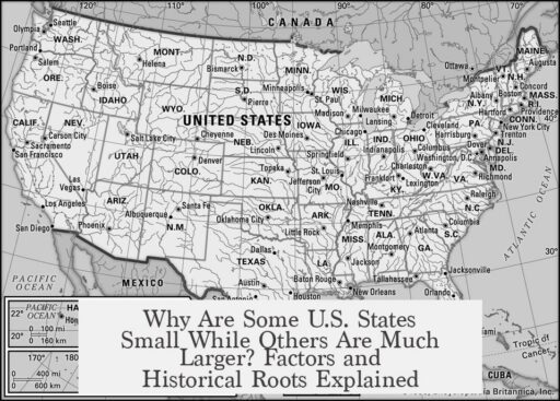

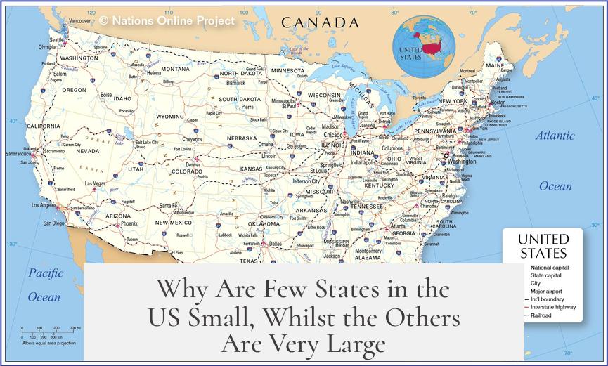
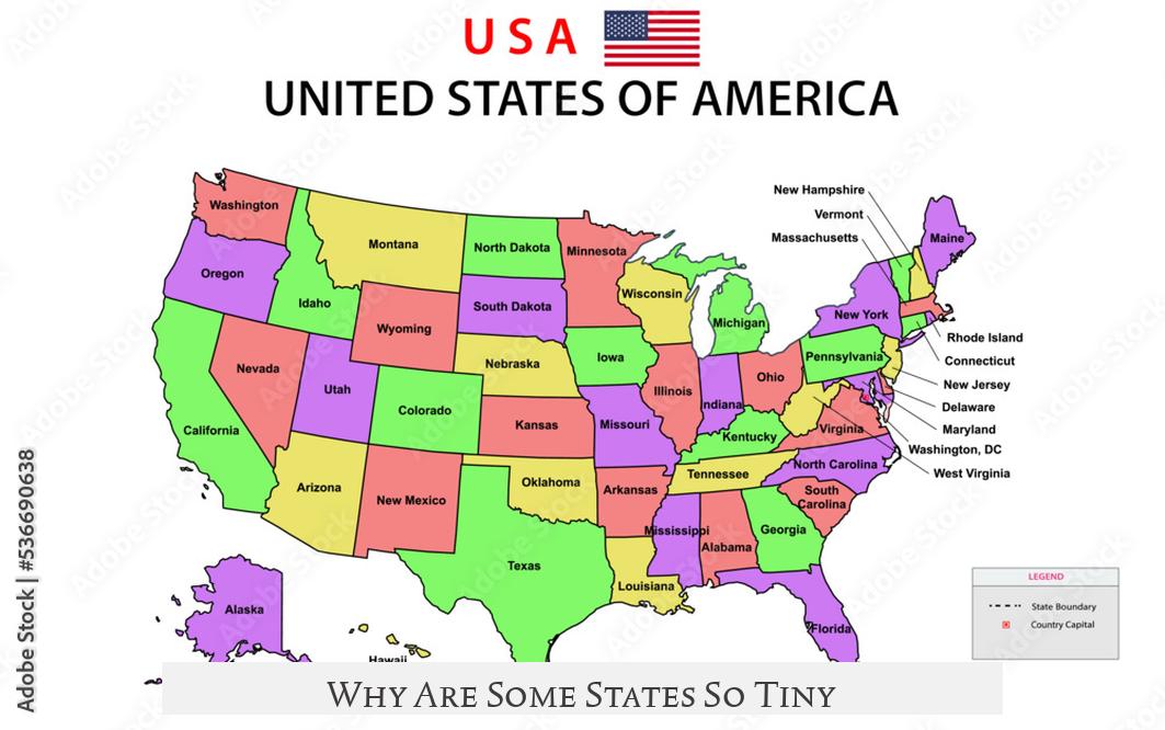
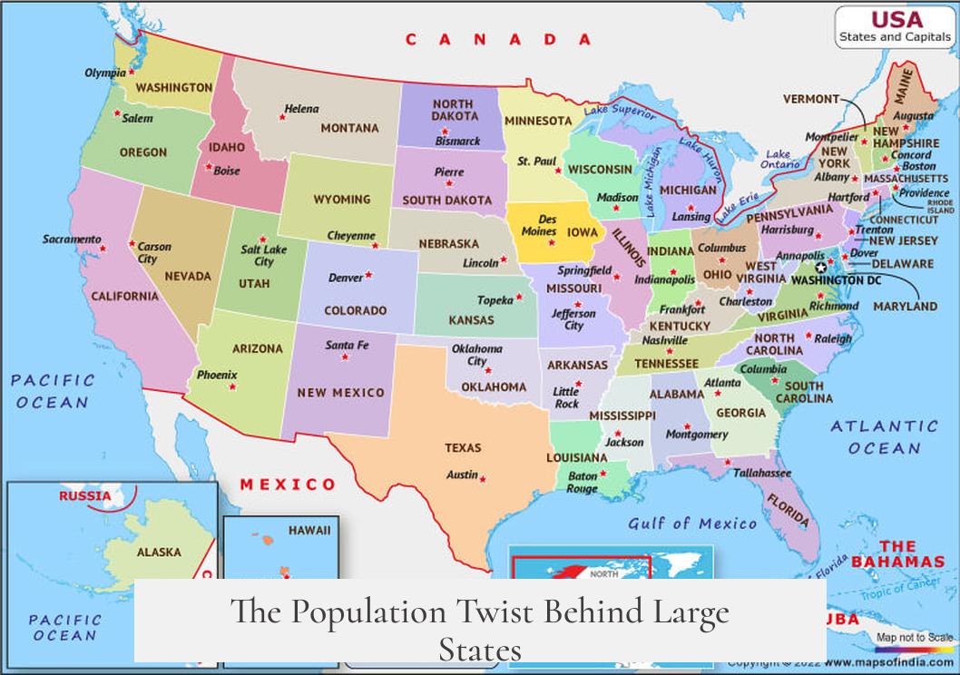
Few US states are small while most others are large due to historical, geographic, and colonial factors shaping early boundaries and later territorial development. The original thirteen colonies, many of the smallest states, were confined by geography and existing Native American settlements. Their boundaries reflect compact colonial settlements.
These early colonies developed near coastlines and rivers, limiting expansion and setting narrow borders. States like Rhode Island and Delaware remain small because their borders were drawn to fit densely settled, well-established areas rather than vast frontier lands.
In contrast, many large states stem from later territorial divisions in the western US. The Spanish empire controlled vast provinces such as New Spain, which included present-day Texas and California. These lands were once huge colonial territories before becoming US states and retain their large size. These areas reflect a different colonial pattern influenced by Mexico and Spain, where larger administrative districts were common.
For example, Texas and California were former Spanish provinces that grew into expansive states. Their late population growth and development aligned with modern technology such as air conditioning, which helped overcome harsh climates and resource challenges. This delayed growth contrasts with the denser, older eastern states.
Other large states like Arizona and New Mexico formed after treaties such as the Treaty of Guadalupe Hidalgo in 1848, which divided lands following the Mexican-American War. These boundaries reflect political compromises rather than compact settlement patterns.
Alaska, the largest US state, was purchased from Russia and became a state only in 1959. Its massive area contrasts sharply with its small population. Its harsh climate restricts settlement, keeping population density low despite vast territory.
Population density, colonial history, and geography strongly influenced state sizes. The original colonies were smaller and more compact, shaped by early settlement and native presence. Western territories became large due to late development, vast expanses controlled by European empires, and later political divisions.
- The original thirteen colonies form many small states, constrained by early settlements and geography.
- Large western states often originated as vast Spanish or Mexican provinces before US annexation.
- Treaties shaped boundaries in the west, contributing to large but sparsely populated states.
- Harsh climates and resource limits delayed population growth in large states like Texas and Alaska.
- State sizes reflect a mix of colonial legacies, geographic features, population growth, and political history.
Why Are Few States in the US Small, Whilst the Others Are Very Large?
Simply put, the size differences among US states are deeply tied to history, geography, and who settled where first. This curious patchwork is not random. The reasons sneak back to colonial times, native lands, climate, and treaties. Let’s unpack this fascinating puzzle.
Ever wondered why Rhode Island and Delaware feel like tiny islands on the map compared to giants like Texas and California? The answer lies in a layered story of colonial origins, have-it-your-way treaties, and natural limitations.
Colonial Origins Shaping State Sizes
Back in the 17th and 18th centuries, the US land was a chessboard for European powers—Britain, Spain, and France. Each established provinces based on their priorities and population expectations. These European colonial provinces later morphed into the US states we see today.
Areas colonized early on by the British, with denser populations and clearer boundaries, tended to be smaller. The “original thirteen colonies” mostly fit this pattern. Their borders emerged from localized settlements pressed tight by geography and native territories. Imagine a puzzle where many pieces are forced close together.
For instance, New Jersey and Massachusetts are reminders of this dense colonial-era packing. Native American lands halfway fenced these colonies in, constraining expansion and leading to smaller, compact states.
Why Are Some States So Tiny?
Ask yourself—why is Rhode Island barely bigger than a postage stamp? Because it was an original colony squeezed by natural boundaries like rivers, bays, and native settlements. Its founders settled early, creating firm borders that rarely expanded.
Delaware is another small state from the original colonies, limited yet proud. The colonies’ tight-knit design contrasts sharply with later-established states carved from vast wilderness.
Big States That Grew from Later Territories
Pop quiz: How did Arizona and New Mexico get their clearly defined but hefty sizes? That’s a tale stitched by the Treaty of Guadalupe Hidalgo in 1848, which ended the Mexican-American War. The US divided new lands acquired from Mexico into sizable chunks.
Some large states, like Texas and California, are former provinces of New Spain (a vast Spanish empire territory). Their sizes resemble Latin American states shaped by similar colonial influence and geographic realities.
This historical tie explains why Spanish culture—architecture, festivals, cuisine—thrives strongly in these states, especially southern California and Texas.
The Population Twist Behind Large States
You might assume bigger states always mean bigger populations, but Texas laughs in your face. Despite its enormous size, Texas had a sparse population for a long time.
Pandemics swept through early Texas. Its severe climate—think sizzling summers—and geographic challenges made life tough. Resources were spread thin, and modern development lagged. It wasn’t until air conditioning made desert living bearable that the population exploded.
Alaska: The Giant That Holds Few People
Then there’s Alaska. It dwarfs many states in land but sits quietly low in population rankings. Why? Besides its rugged, frozen landscape, Alaska joined the United States far later than other states, in 1959.
Before that, Russia owned it. The harsh Arctic climate limits year-round habitation, and economic development trickles in slowly. So, vast doesn’t always mean crowded.
Putting It All Together
So, the small states in the US are remnants of old, dense colonial territories with defined borders and nearby native lands. Large states mostly come from later territorial divisions and sprawling Spanish colonies. Development timing, climate, and historic population pressures played starring roles in how many people live there now.
Thinking about moving? Want space or history? Compare Rhode Island with Texas. One invites you to explore colonial alleys; the other beckons open skies and big-city thrills.
Why Does This Matter?
Understanding state sizes is more than trivia. It explains infrastructure, economy, politics, and culture. Smaller states have tighter governance, sometimes denser populations, and rich colonial history. Larger states juggle diverse climates, economies from deserts to forests, and distinct regional identities.
For students of history or geography, the answer’s clear: The US map is a living museum of how cultures, treaties, and natural features shaped this land.
Quick Recap
- Small states mostly come from original colonies with tight boundaries and early settlements.
- Large states emerged from later territorial acquisitions, often influenced by Spain and Mexico.
- Population density varies due to climate, geography, and development timing, not just land size.
- Alaska illustrates how late statehood and harsh conditions keep populations small despite size.
- Spanish cultural legacies in big western states reflect their historic roots.
Next time you zoom out on the US map, remember: each state’s size and shape tell a story as unique and complicated as the people who live there. Now, isn’t that more fun than just looking at a map?