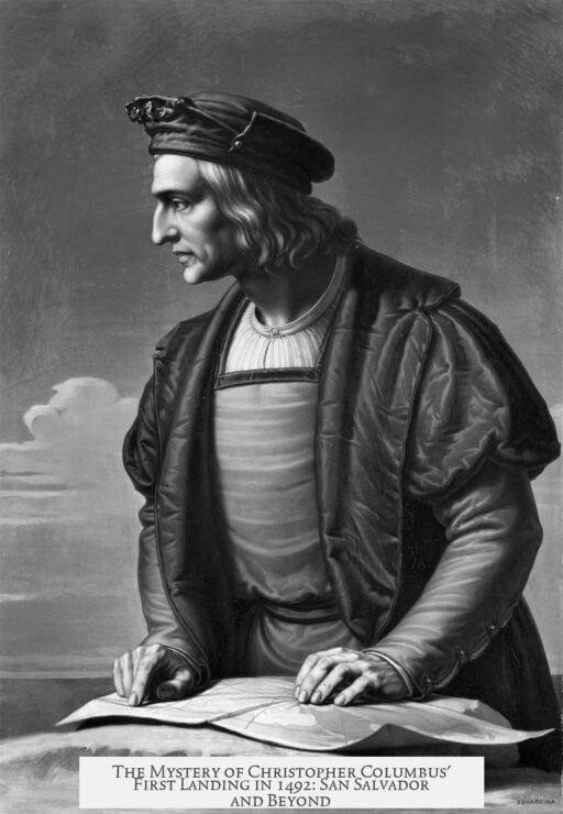
Christopher Columbus landed on an island in the Bahamas during his first voyage in 1492, but the exact island remains uncertain. His diary describes a large, flat island with abundant greenery, fresh water, and a central lagoon. The island is free of mountains, surrounded by a reef, and has a narrow entrance leading to a deep harbor.
Columbus explored the island by traveling north-northwest along its western coast. He noted a significant rock barrier encircling the island and a sea channel suitable as a port for many ships. Despite these details, the specific island he encountered is debated because navigational tools and mapping techniques of the time were limited. Sea currents and imprecise distance measurements affected his recorded course.
Cartographic sources, including the 1500 map by Juan de la Cosa, who joined Columbus on his voyage, provide some context. However, inaccuracies in early maps complicate identification efforts. Scholars rely heavily on Columbus’s descriptions and general sailing directions, but these are broad and fit several islands in the Bahamas.
- San Salvador Island is the most widely accepted candidate today. It was named in the early 20th century to match the island Columbus called “Guanahani,” believed to be where he first stepped ashore.
- Other competing theories suggest Samana Cay, Cat Island, and the Plana Cays as possible landing spots based on geographical and environmental clues matching Columbus’s account.
Each location matches some but not all of the key features Columbus described, keeping the debate open. The lack of precise navigational instruments and varying interpretations of historical texts prevent a definitive conclusion.
- Columbus’s first landing was on a Bahamian island with a lagoon and no mountains.
- The island had a large surrounding reef and a narrow harbor entrance.
- San Salvador Island is the leading candidate but not confirmed.
- Navigation errors and primitive maps challenge accuracy.
- Other islands like Samana Cay and Cat Island remain possibilities.
Where Exactly Did Christopher Columbus Land During His First Voyage in 1492?
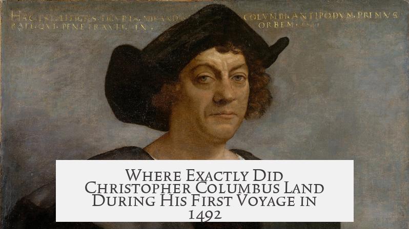
Christopher Columbus landed on an island in the Bahamas during his first voyage in 1492, but the exact island remains a mystery. Columbus’ own descriptions offer clues, yet they match several islands. Historians and navigators have debated and examined the evidence for centuries without reaching a definitive answer.
So why is such a fundamental historical fact still up in the air? It turns out that the “where” is as tricky to pinpoint as a lost sock in a laundry heap. Let’s embark on this journey to explore the enigma behind Columbus’ landing site and uncover some fascinating details along the way.
Columbus’ Own Description and Its Puzzle
Columbus wrote in his diary about the first island he spotted, which the natives called Guanahani. He described it as a “quite big, very plain, with very green trees, and much water, and in its midst, there’s a very big lagoon.” The island had no mountains and was lush and pleasant to behold.
Sounds straightforward, right? But here’s the kicker: several islands in the Bahamas fit that description perfectly. It’s like trying to identify a cake flavor just from a crumb description—delicious, but ambiguous.
On top of the landscape description, Columbus also mentions a great bar of rocks surrounding the island, with a deep center suited for a port, though with a narrow entrance. He even took a boat trip North-Northwest along the island’s western coast. These hints help narrow the field but don’t seal the deal.
Why Can’t We Just Follow Columbus’ Diary?
You might think that retracing his route from the diary would solve everything. Yet, maritime navigation in the 15th century was far from precise. Columbus and his crew relied on dead reckoning and imperfect maps. Currents, winds, and weather could push ships off course without warning. Distances at sea were estimations, not exact measurements.
Even cartographers like Juan de la Cosa, who sailed with Columbus and created one of the earliest maps including the new lands in 1500, had limitations. Their maps reflect knowledge from reports and guesses rather than satellite precision. So, while these documents are invaluable, they leave room for interpretation—and confusion.
The Leading Candidate: San Salvador Island
After centuries of debate, San Salvador Island has emerged as the leading candidate for Columbus’ first landing spot. This island adopted the name San Salvador in the early 20th century, echoing the name Columbus originally gave Guanahani. It boasts the large lagoon, flat terrain, and green vegetation that matches his diary’s description.
But, before you book a trip there to walk in Columbus’ footsteps, know that this is more about historical convention than scientific certainty. The name San Salvador has become a symbolic claim rather than a proven fact.
Other Contenders: More Islands, More Mystery
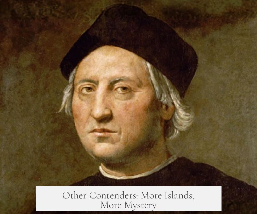
While San Salvador is the front-runner, other Bahamian islands have legitimate stakes as well.
- Samana Cay: Some experts argue that it corresponds better to Columbus’ recorded bearings and description of the rock formations.
- Cat Island and the Plana Cays: Others propose these less well-known islands as possibilities, fitting parts of Columbus’ diary and navigation clues.
Each proposed location tick-boxes some details while missing others—kind of like trying to assemble a puzzle from pieces of different boxes. The search continues.
What Can This Uncertainty Teach Us?
Understanding the ambiguity surrounding Columbus’ landing empowers us to appreciate the challenges of historic navigation and the limitations of early documentation. It also invites us to think critically about how history is constructed.
Imagine sailing blind in the vast Atlantic with only a compass and rudimentary maps. No GPS, no radar, only the stars and your wits. How precise could your record of where you landed be? The truth is, a bit fuzzy.
Moreover, the Bahamas themselves consist of hundreds of islands, many sharing similar landscapes. Distinguishing one from another without modern tools is tricky even today.
How This Affects Today’s History Buffs and Travelers
If you’re a history nerd or an adventurous traveler, this uncertainty adds a juicy layer to any trip—you get to form your own theory. When visiting San Salvador, Samana Cay, or Cat Island, you can imagine the excitement and confusion Columbus must have felt.
Historical mystery breeds engagement. Museums, lectures, and tours often highlight this debate, inviting visitors to ponder “what if?” and “could it be?” rather than delivering dull, absolute answers.
Summary: A Mystery That Keeps History Alive
Columbus landed on a Bahamian island in 1492, but pinpointing exactly which island remains unresolved. His diary details, while vivid, fit multiple locations. Navigation inaccuracies and map limitations add to the puzzle.
San Salvador Island is the most accepted candidate, but Samana Cay, Cat Island, and Plana Cays hold credible claims. This ongoing debate enriches our understanding of early exploration challenges.
So, next time you hear the story of Columbus’ famous first step onto the “New World,” remember: even the best records from 1492 can’t solve every adventure’s mysteries. It’s a reminder that history is often about interpretation and that some questions are meant to spark curiosity, not close the book.
Are you team San Salvador, or do you side with another Bahamian island? Whatever you choose, the story remains as captivating as ever—proof that sometimes, the journey itself offers the greatest discovery.
